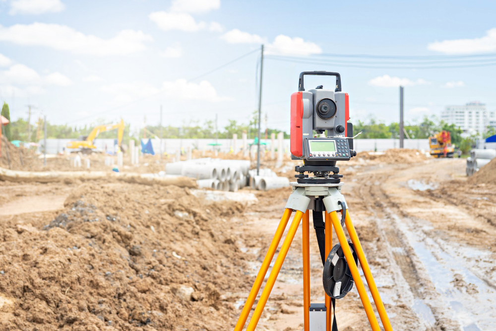
You dream it. We can Survey it.
A topographical survey provides a detailed mapping of land features, including elevations, natural formations, and man-made structures. This data supports engineers and planners in the design and construction of accurate infrastructure projects.
Setting out surveys transfer architectural plans onto the ground, ensuring that structures are positioned accurately for construction. This is crucial for the proper placement of foundations and other structural elements in accordance with design specifications.
Construction surveys ensure that buildings, roads, and other infrastructure are constructed precisely according to design specifications. This service includes layout marking, alignment checks, and elevation verification to guarantee structural accuracy.
Our volume calculation services measure the amount of earthworks, excavations, and stockpiles, which is essential for material planning, cost estimation, and project management. Accurate volume calculations ensure efficient resource management throughout the construction process.
Geodetic surveys use advanced satellite and instrumentation technologies to measure large areas with high precision. These surveys are vital for national mapping, defining boundaries, and planning large infrastructure projects where accurate geospatial data is critical.
Building settlement monitoring tracks structural movements over time to detect shifts in foundations. This service ensures long-term stability by identifying any potential issues early, which is especially important for high-rise buildings and large-scale infrastructure projects.
Let’s renovate your living space

We utilize the latest GPS technology, electronic total stations, and geodetic instruments to ensure unparalleled precision in all our surveys, whether for land development or large-scale infrastructure projects.
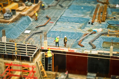
From topographical and construction surveys to settlement monitoring and volume calculations, we provide a wide range of services to address every phase of your project, ensuring complete accuracy and efficiency.

Safety is our equal priority. Our surveys are conducted with a focus on risk management, ensuring the safety of your team, the environment, and the project's long-term integrity.

We offer comprehensive data processing and detailed survey reports to help engineers, architects, and planners make informed decisions, backed by precise measurements and reliable data.
Precision & Accuracy: Our experienced surveyors use the latest tools and technologies to deliver the highest level of accuracy for every project.
Comprehensive Solutions: We offer a wide range of surveying services, from topographical and construction surveys to settlement monitoring and volume calculations.
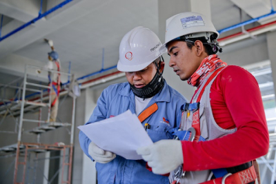
Safety & Risk Management: We prioritize safety in all our surveying operations, ensuring that all work is done with careful attention to both the environment and personnel.
Customer-Centric Approach: We focus on understanding our clients’ needs and delivering solutions that are timely, cost-effective, and tailored to the unique requirements of each project.
